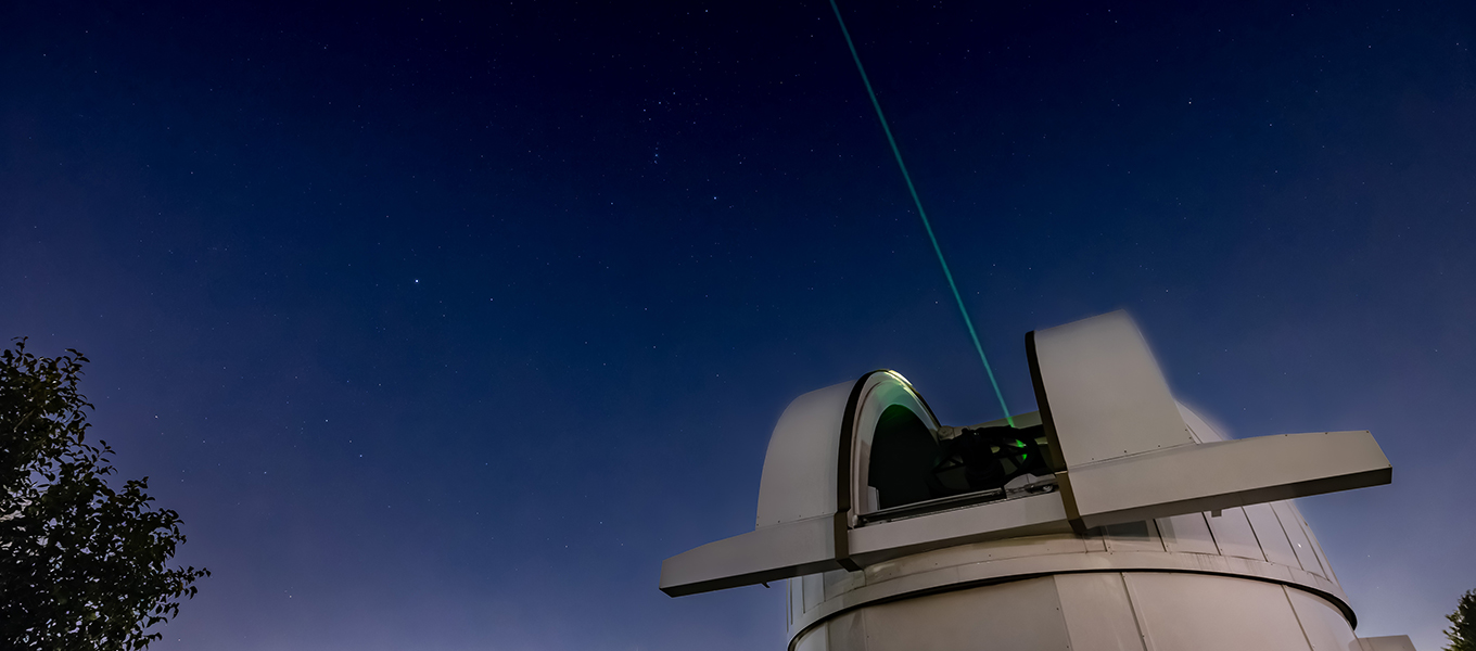
Satellite Laser Ranging (SLR)
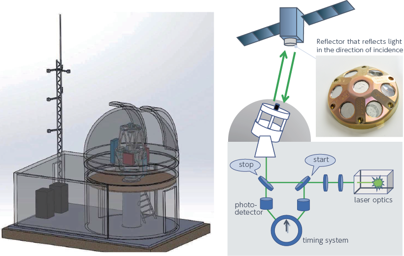
Satellite Laser Ranging (SLR) is a system to measure the distance between the Earth and an orbiting satellite by emitting laser pulses in the direction of a reflector attached to the satellite and measuring the round-trip time. SLR systems can measure distances with an accuracy of less than 1 cm, and are used for precise orbit determination, calibration of GNSS receivers, etc.
Background
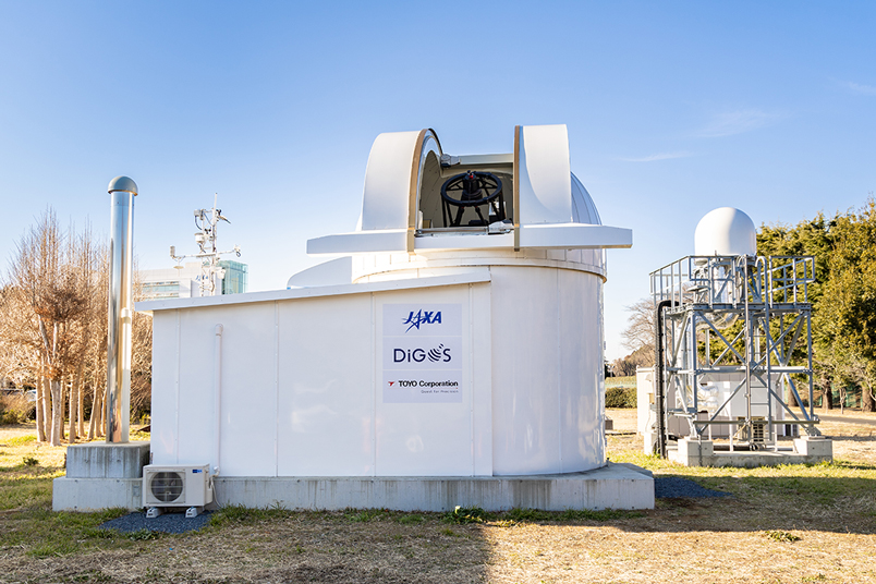
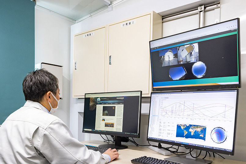
Tsukuba SLR station is located at the Tsukuba Space Center for easy access by JAXA staff. The station, which has been in operation since April 2023, contributes to the realization of the geodetic coordinate system and highly accurate satellite ranging.
Overview
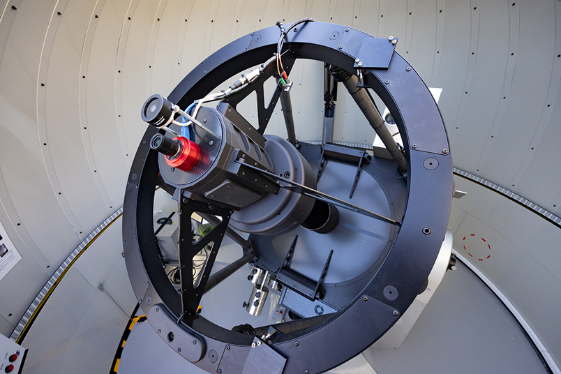
The design concept of Tsukuba SLR station is “low cost, small size, and simple”. The station has no coudé path, and the laser transmitter and detector are mounted directly on the telescope to achieve a compact size. The station provides two options for laser avelength, 532 nm and 1064 nm, and is capable of ranging satellites from LEO to GEO.
Specifications
| Optical Diameter | 0.8m |
| Wavelength | 532nm、1064nm |
| Repetition Rate | 1kHz |
| Pulse Energy | 260µJ@532nm、350µJ@1064nm |
| Detector | SPAD |
